
Geography
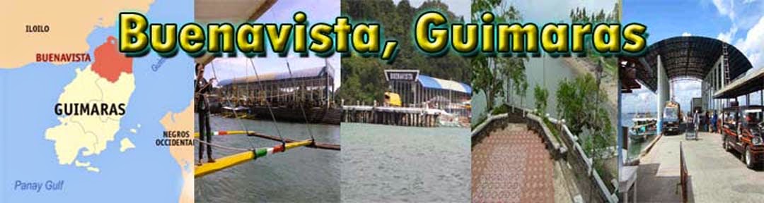
Buenavista is located at the northern tip of Guimaras Island, and is one of the five towns comprising the province of Guimaras. The northern and northwest part of the town overlooks Panay Island and the northeast portion faces Negros Island. Iloilo Strait lies between the town and Panay, and Guimaras Strait lies between the town and Negros. The McArthur wharf serves as the municipal wharf for Buenavista and part of San Lorenzo is used by passengers from the neighboring Panay Island in going to Negros Province and vice versa. This transportation route serves as a cheaper link, rather than taking a ship.
Buenavista's terrain ranges from plains (nearly level in the central and northwest coastal areas) to mountains (northwestern part). The climate is mild and cool, due to its being bounded by the sea on the three directions.
No comments:
Post a Comment